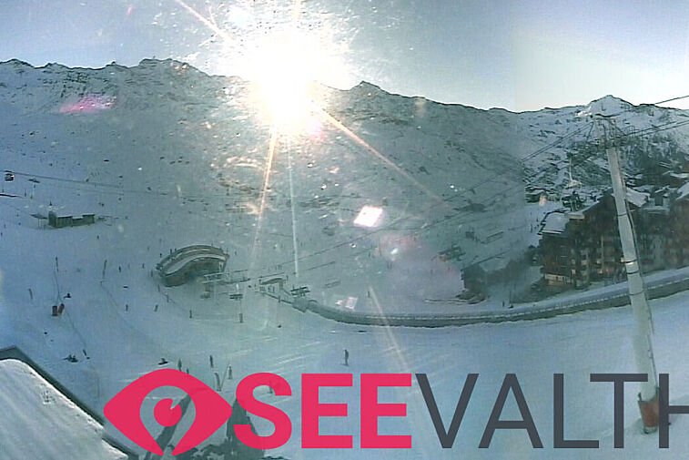

We enjoyed a great and mostly sunny weekend in the Alps and then Sunday evening and Monday brought a little fresh snow. Over 2000m it snowed for most of Wednesday but below that sadly it rained. From Thursday for a few days the temperatures are dropping as cold air moves in from the north west and the freezing level is going right down.
In Val Thorens we had around 22cm of fresh snow on Wednesday over 2000m. Thursday we are currently enjoying the snow falling over 2000m during the day with a moderate westerly wind. The freezing level will drop to 1450m Thursday night and by then we should have another 27cm. On Friday we may have a little more light snowfall with temperatures hitting a low of -12°C on Friday night.
Freezing levels are down to around 500 metres until Saturday evening after then they will start rising again. A cold but sunny weekend is looking likely and after the snowfall this should make for some fabulous skiing! A little far ahead but on Monday a light to moderate snowfall is predicted although the freezing level will go up to around 2300m with much warmer air coming through.
The avalanche risk will be considerable at around 3 out of 5, after the new snowfall of Wednesday. Up at the higher levels be aware that the new snow on top of the old layer could cause some instability. As usual don’t venture off-piste without the correct kit or before checking the daily weather advisory in the resort.


![[itemref] living-room](https://cdm0lfbn.cloudimg.io/v7/_images_base_/image_uploader/arkiane/original/inter_00210069.jpg?ua=1767168725&p=listing_summary_middle)